According to Merrian Webster Dictionary a cistern is an artificial reservoir for storing liquids. That was something I did not know until I ran the Arrowhead trail which features a Civil War era cistern. I also learned the tank on your toilet is also called a cistern. Now if I only could figure out what the names of the other parts inside the cistern are called because I am pretty sure that thing-a-ma-bob and what-cha-ma-call-it are not their proper terms.
Getting There
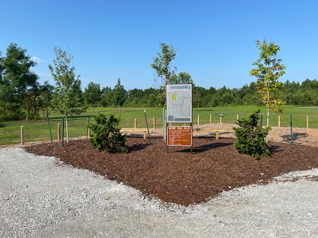
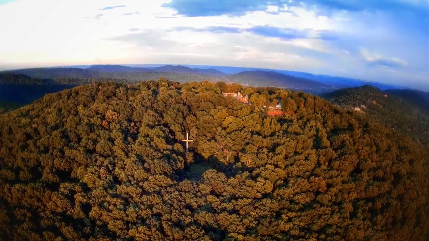
Arrowhead trail is located on the south side of Monte Sano and starts at the Land Trust Parking lot located off of Monte Sano Blvd near Big Cross and Rock Bluff Trail. It shares a trail head with the Natural Well Trail and Through Springs trails. It starts on Land Trust property and ends inside the state park and all of the trail markers are distinctively state park markers. It’s funny that as you start to run around the mountain you can really start to tell the difference between two.
The Trail
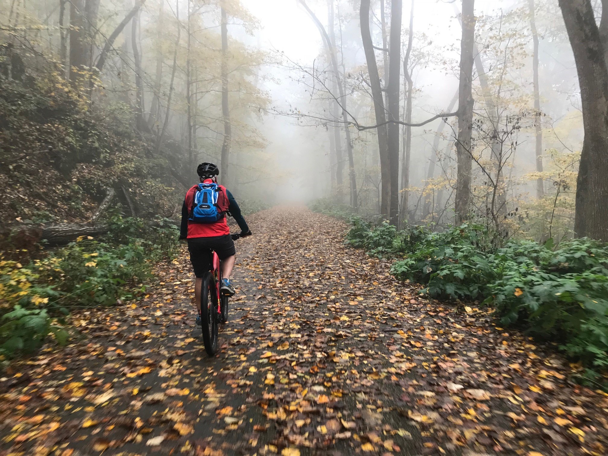
A lot of the trails in and around the park can be quite rocky and while Arrowhead has its share of rocky areas it is one of the better ones. It features some flatter sections that when not muddy you can pick up a lot of speed especially on the back half as you get closer McKay Hollow.
The trail starts out with a slight climb for the first mile at the peak of which you are right above a washout that has destroyed a big chunk of the Natural Well trail. There are some rocky spots in this section but nothing too bad. You do cross two small wooden bridges before you reach some cool stone cuts at mile 1.1. The last time I ran this happened upon a small turtle in the middle of the trail which I have never seen on a trail this far away from a pond or a lake.


From there you cross Natural Well Trail and head south toward the Big Cat Tract on steady decline. Just after the 2 miles there is a slight jaunt you can take to a Civil War era cistern near mile 2.3. This section has a few rocky places but nothing too difficult.
Next up is the Big Cat Creek Tract. Here you dip down to the lowest part of the trail at mile 2.5 and loop around some nice rock formations before heading back north. The loop back up around Big Cat Creek Tract is a rocky technical part of the trail that can be difficult if you are coming at it from the other direction. If you are not feeling up to there is a flat bypass that you can take to avoid this area.


From here to the next intersection with Natural Well at mile 4.25 is an easier section where you can pick up a lot of speed. The only thing that may slow you down is during periods of heavier rain it can get quite muddy.
he last part of Arrowhead features two more wooden bridges, the first of which needs a few boards replaced. Those bridges bookend a short but steep grade hill at the top of which is a rocky creek bed that requires some caution when crossing. From there the trail merges with Natural Well Trail.