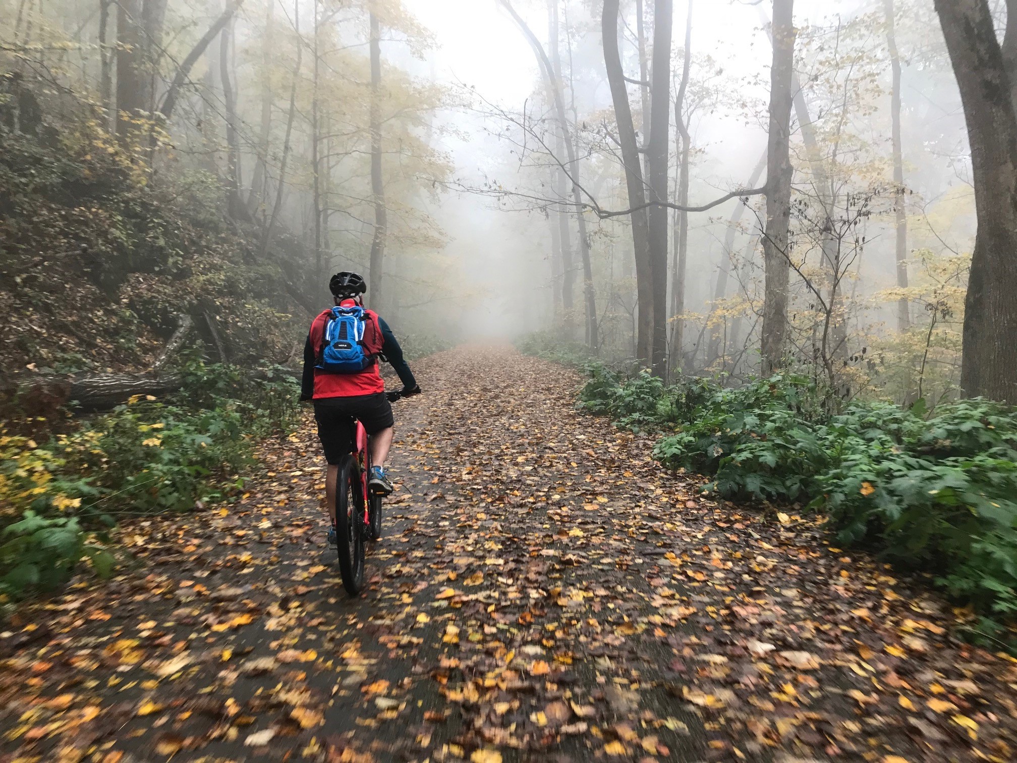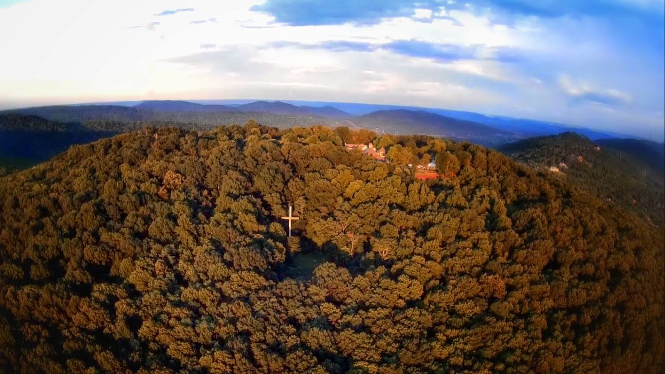
At over 8-1/2 miles long Flat Rock is the longest trail Monte Sano. It features everything from waterfalls, to rock formations, to amazing views.
Updated 5/10/2016 to reflect changes to the Land Trust maps. For more on the new map chekc out our New Monte Sano Land Trust Map article.
Getting There
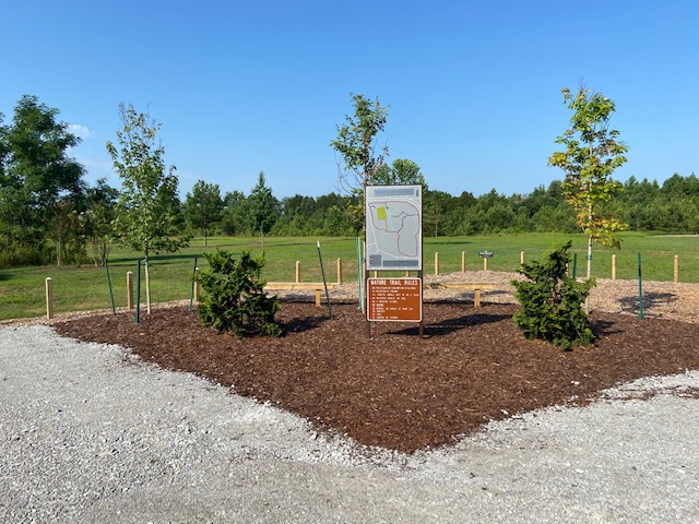
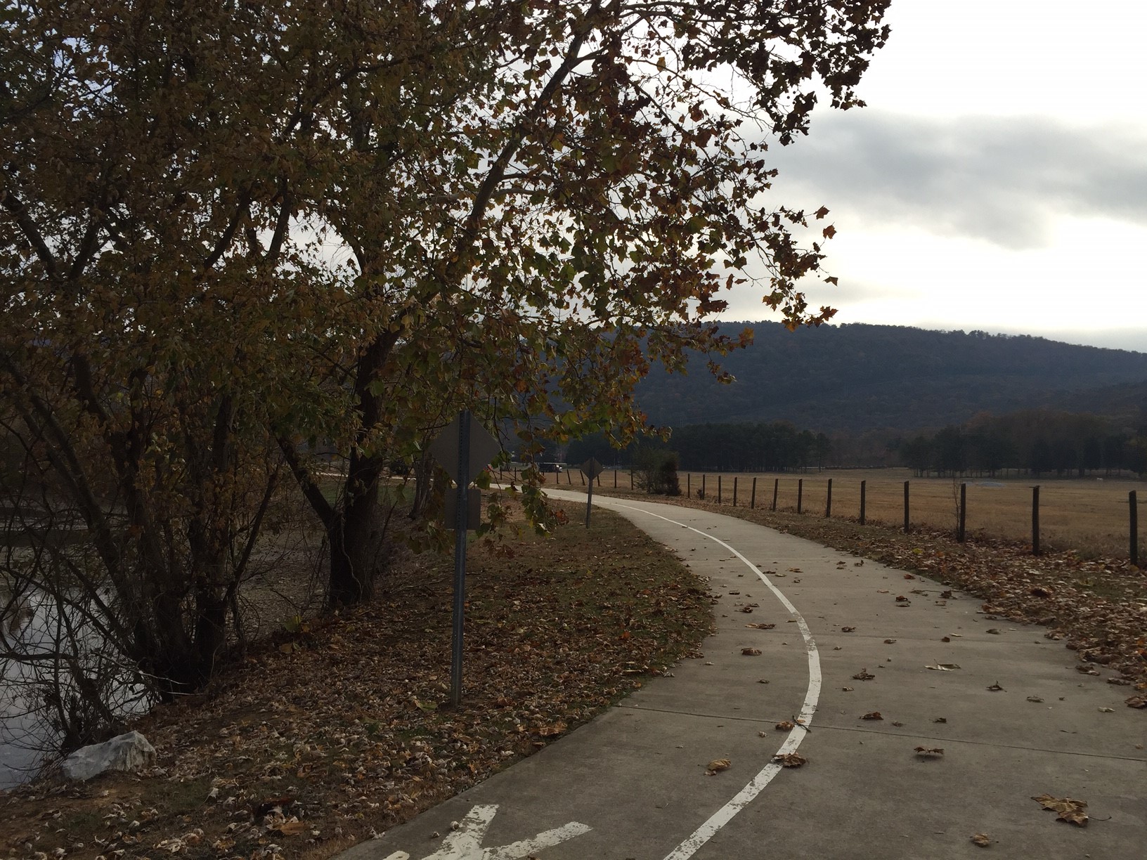
In total there are only five places to access the Flat Rock. Dug Hill Road, Warpath Ridge Trail, Flat Rock (K2) Connector, Flat Rock Connector, and the Bankhead trail. For a trail as long as this that is not a lot of places to jump on and to add to the fun none of those access points are marked. Of those five the best spot to hop on is the Land Trust parking lot located on Bankhead parkway. Beware you will be parking on the opposite side of the road from the trail head be careful when crossing the road.
The Trail
Flat Rock runs from the Land Trust Bankhead trail around north side of the mountain before heading south and terminates at at Dug Hill Road. There is not a single trail marking along the entirety of the trail so If you are attempting to run this for the first time I would suggest loading the GPS track into your watch of smart phone. Most of the trail has beaten down enough so it is easy to follow but certain spots can be tricky which is why having that data readily available can be a life saver. The southern part of the trail does offer some race course markings in the form spray paint or Mountain Mist 50K markers that can help you.
Some parts of Flat Rock also run through private property and are closed during hunting season which runs from October 1st - January 31st. Typically those parts are marked so be aware of that. Those land owners could cut off access to the trail year round if they wanted to but instead they gracious allow us to use their land 75% of the year.
*The Lot the serves as the trail head and is large enough for ATV's and off road vehicles to access an old logging road. You can run down this road as well but it is a muddy, rutted, double track mess. The actual trail starts to the right of the entrance to the lot. This section of trail follows a natural bench dipping down once to run along the old road from the muddy lot before return to trail. The bench, which you run along for a majority of the trails, is one of the main reason for the limited number of access points. At one mile there is short trail that leads you back to a neighborhood, that without trail markers can be easy to end up in someone's backyard.
- *This is now the Bankhead trail.
At 1 1/2 miles the trail takes a hard right near a fenced in cell phone tower and the trail converts to double track on what was more than likely on old log road. Old road seem to be a theme around these parts. At the 3 mile point you reach the trails name sake, The Flat Rock. It is a large flat lime stone rock that features a nice view and few cacti. This is also where the trail intersects with the first of two trails called the Flat Rock Connector. This connector will take you to the Logan Point Trail. The entrance to it is just after the opening to the Flat Rock can be hard to spot.
After you exit the Flat Rock the trail eventually turns back into single track and weaves through the woods continuing to follow the bench. Because of the remote nature of the trail some sections are a bit over grown but it is still very navigable. You will occasionally come to a downed tree and if it is not easily navigated over fellow hikers and runners have started making a path around it in what I like to call organic trail creation. At mile 6.75 the trail reaches the Flat Rock K2 Connector trail that is known by the local running community as K2 because of it steep incline. Be sure to note that there is almost 4 miles between access points.
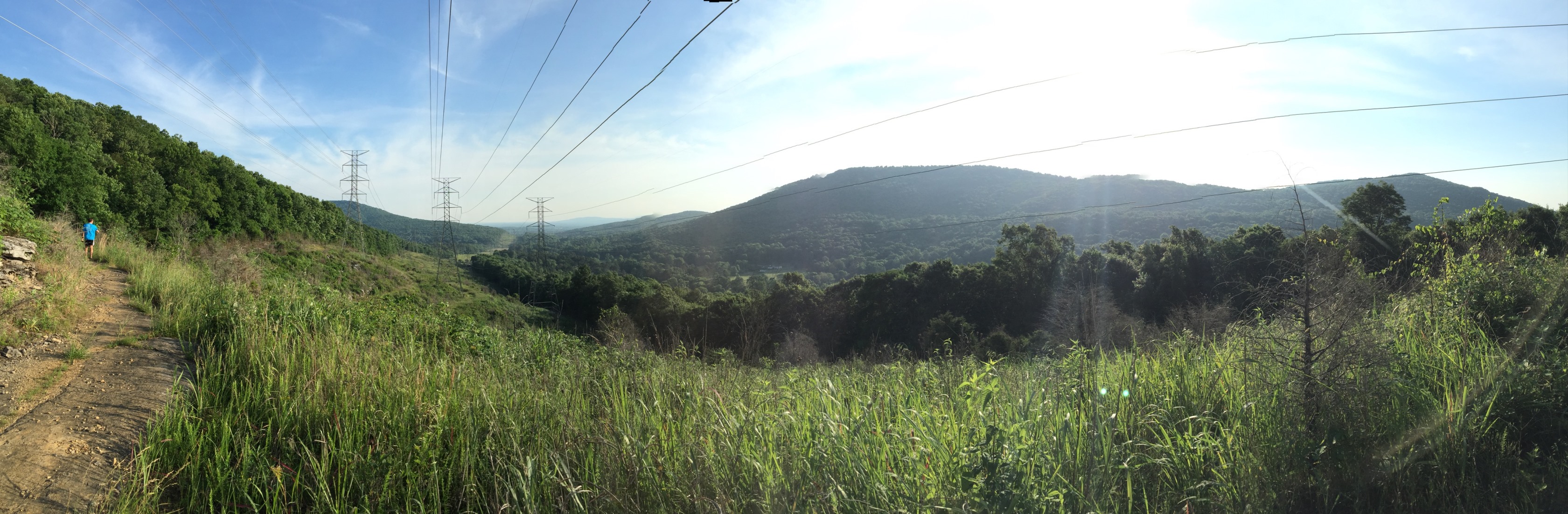
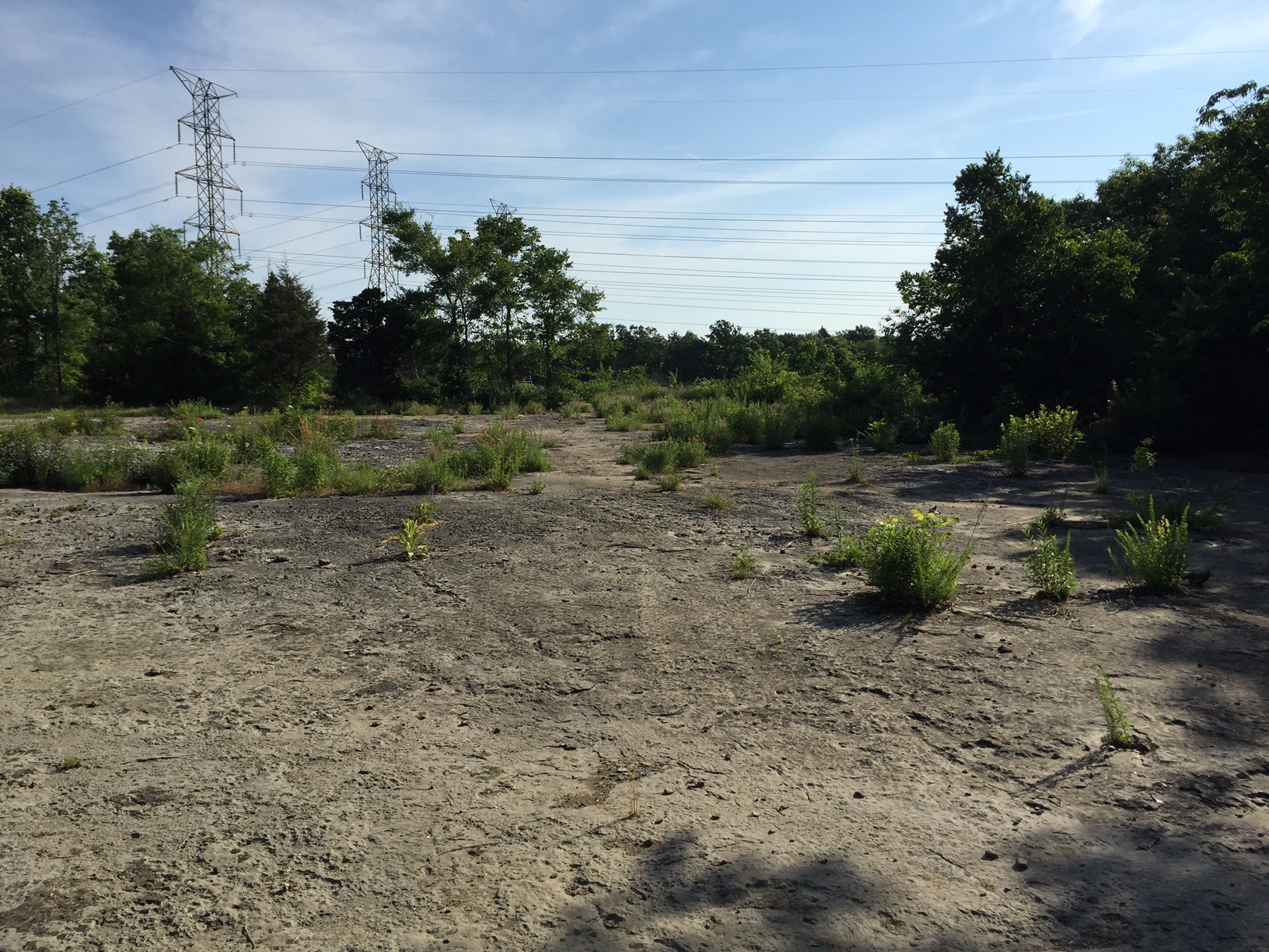
At mile 7 the trail emerges into the power line cut which is where it stays for the remainder aside from a small section at mile 8.65 where it juts back in and out of the woods to avoid ravine. At mile 8 the trail intersects with Warpath Ridge over two miles from the last access point. From here the trail and slopes down aggressively to Dug Hill road. There are some maps that call the section of trail from Warpath to Dug Hill Road Power Line so be aware at your next cocktail party and you just may avoid an akward converstaion.
The distances between each access point creates a problem if something went wrong while on Flat Rock. A lot of us have seen the movie 127 hours and no one wants that to happen to them so be sure to carry your phone with you and or tell someone where you are going and what trails you are running. Even if you were able to reach one of the Flat Rock Connectors ore Warpath Ridge, those are all hard trails and still a good way from help. There can be a trade off between adventure and safety when running a remote trail. As a fan of the road less traveled I would say it is well worth the risk.
{gallery MonteSano/FlatRock/gallery01}