This is a continuation of our three-part Mountains of Madison County series. As promised, we continue with the North Huntsville area which offers some well-known plateaus including Chapman and Wade mountains. Downtown and south Huntsville to follow.
North Huntsville
Chapman Mountain - 1,213 ft
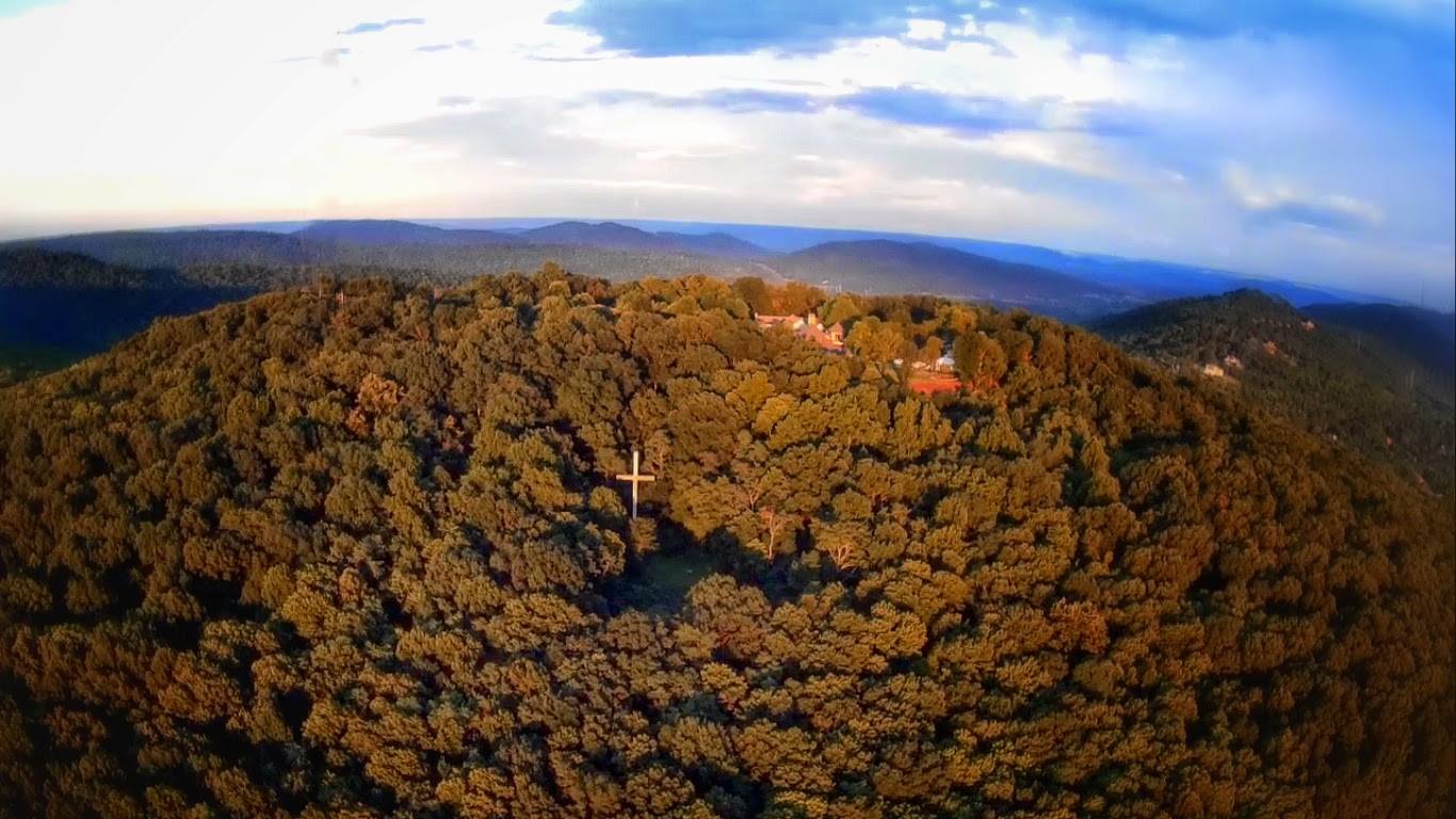
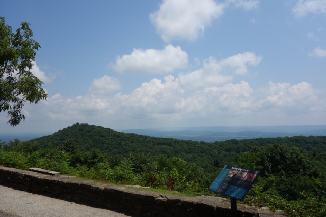
Home to many of Huntsville's most wealthy residents, Chapman Mountain boasts beautiful panoramic views of Huntsville. Chapman Mountain is just northwest of Monte Sano and is divided by US 72/Certain Gap (not to be confused with Blevins Gap and the Certain Trail) between Oakwood Avenue and Moores Mill Road.
Chapman Mountain is named after Alabama's 13th governor, Reuben Chapman. About half the mountain has been preserved by the Land Trust through multiple land purchases however, we're not aware of any publicly-accessible trails. The one slight caveat to that is trail #18 on this Monte Sano trail guide appears to encroach on Chapman Mountain with additional unmarked trails going even farther. It's our understanding that some residents of Hawks Ridge subdivision have plans to develop a trail that connects to the Monte Sano network via Land Trust property however, that trailhead would be private property most likely.
Chapman Mountain is also home to Panther Knob although it's probably debatable whether Panther Knob is its own entity. Strangely enough, Panther Knob Trail is not located on Panther Knob but actually on Logan's Point which is part of Monte Sano.
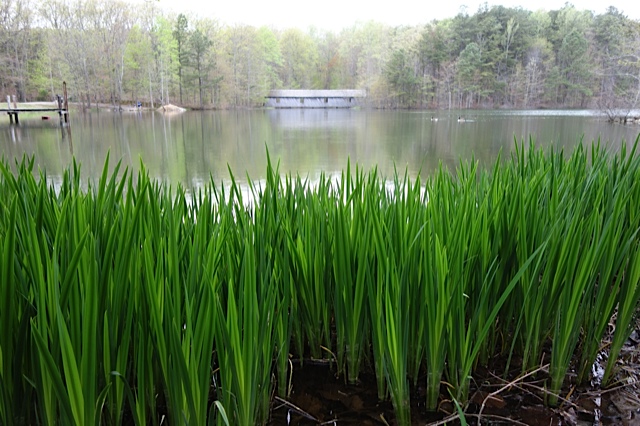
Brush Mountain - 935 ft
Brush Mountain appears to have no discernible history or current use. Civil War literature mentions a battle near Brush Mountain and also talks of a nearby Lost Mountain which is an apt name because there's no information on it. It's likely one of the two hills to the south of Brush Mountain that don't have names.
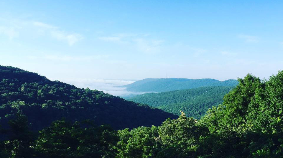
Wade (1,493 ft) & Smithers (1,138 ft) Mountains
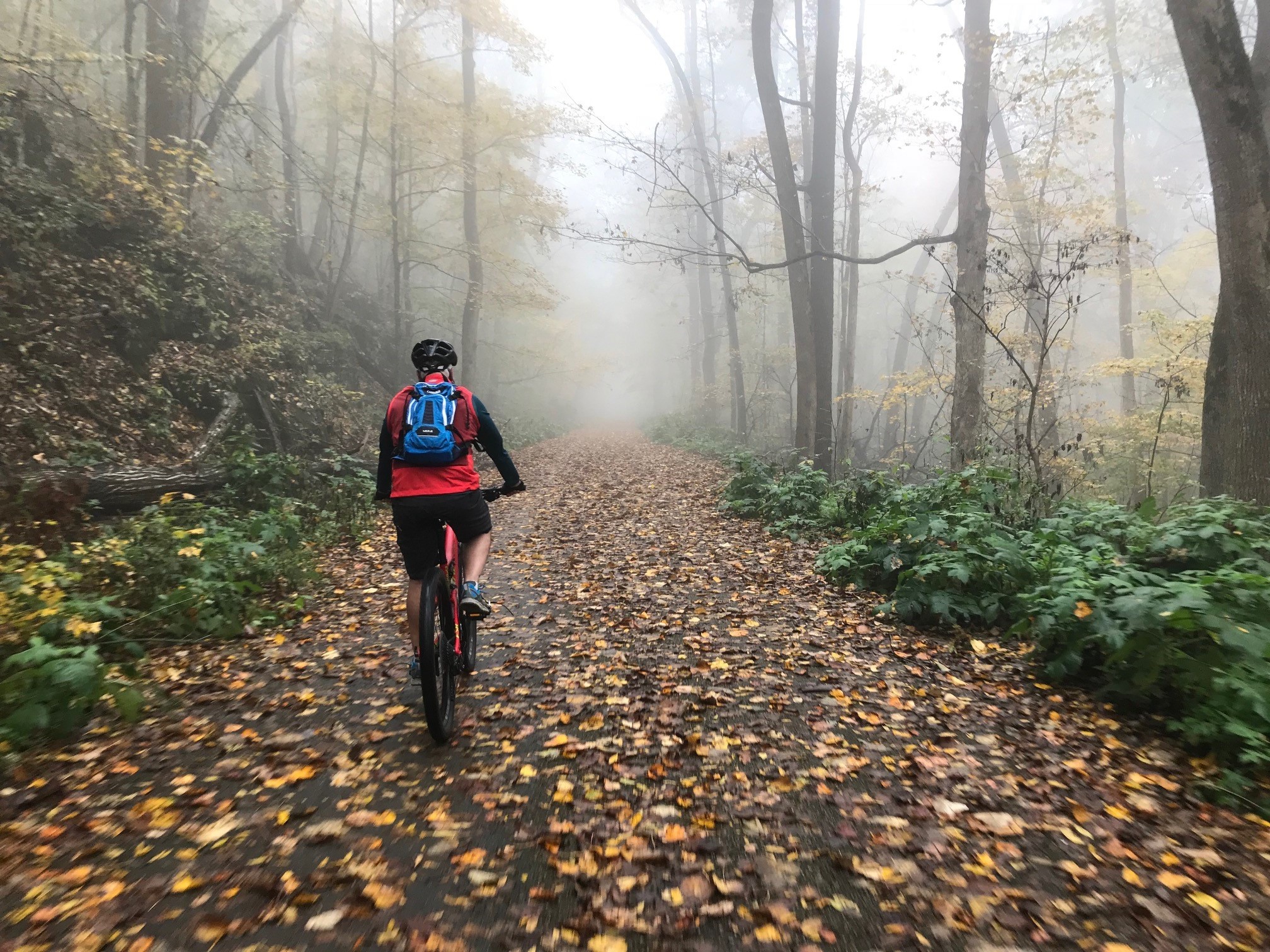
Most Huntsvillians are aware of Wade Mountain thanks in large part to the Land Trust's development of public use trails that include easily accessible greenways and the more difficult and ominously-named Devil's Race Track Trail. The peak of the mountain is mostly sandy soil which contributes to an arid localized micro-climate allowing the occasional cactus to spring up.
Connected on Wade Mountain's eastern side, Smithers Mountain cradles the Mount Charron subdivision and old Valley View Golf Course. There's a proposed greenway that would utilize an abandoned railroad.
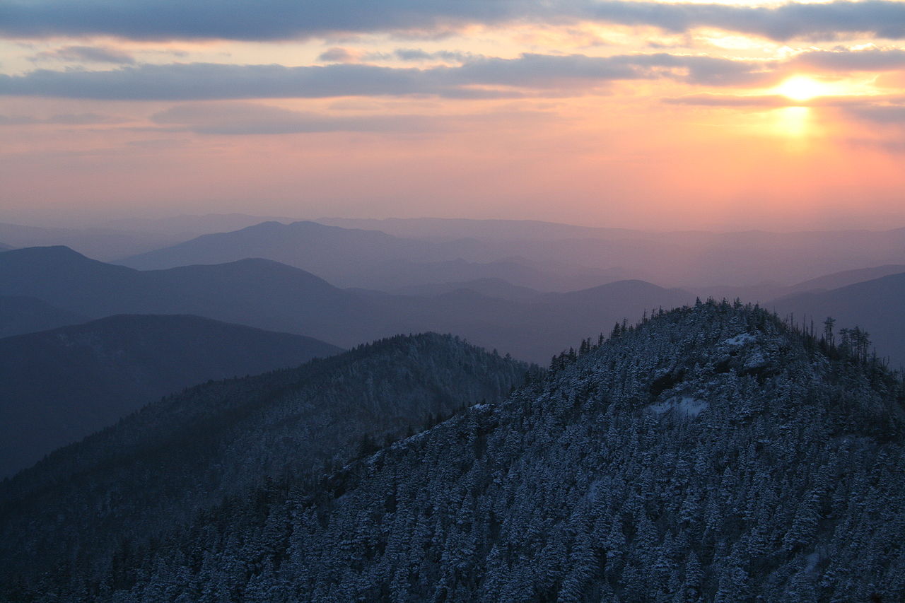
Drake Mountain - 1,204 ft
Just southwest of Wade Mountain, Drake Mountain's ugly south-facing scar can be seen for miles. The Drake Mountain Quarry was used by Alabama Concrete to mine rocks for construction projects in and around Huntsville. Mining petered out as Huntsville's population grew and encroached on the blasting zone.
The Mountain is named after Revolutionary War captain, John Drake. Star HB Farms offers horseback riding on Drake Mountain for about $30/hour.
Oakwood Mountain - 1,001 ft
Oakwood Mountain is located just north of Oakwood University and also was previously used as a quarry. Stones from the mountain helped construct some of the university's original buildings.
| Back to Part One (Madison City & Redstone) |
Next to Part Three (Downtown & South Huntsville) |
Eric Adams
Eric has been an Editor for Huntsville Outdoors since 2012. His outdoor qualifications include: owning a canoe, enjoying the outdoors, and knowing how to type.