The politicaly correct way to say it is the Panther Knob Trail is geographically challenged. It is not located on or near Panther Knob. It starts from the correctly named Logan Point Trail and summits Logan Point. This trail needs to talk to Dr. Phil because it has a major identity crisis.
Getting There
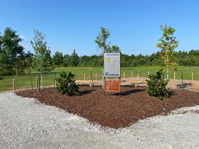
Panther Knob Trail has two access point, one from the Stone Cuts trail and another from the Logan Point Trail. Even though the Stone Cuts access point is closer to every major parking area it is better to attack this trail from the Logan Point access. For most trails I like to go with the path of least resistance but at the summit of the Logan point there is a hidden turn that can easily trick you. The trail actually takes a hard left leading you through some wonderful stone cuts. If you start from the Logan Point trail you avoid this all together.
The Trail
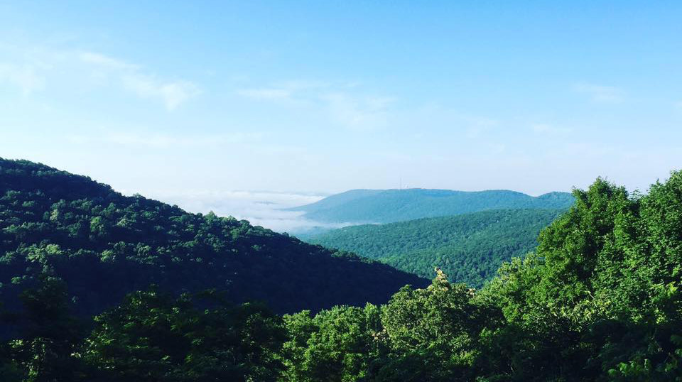
The actual Panther Knob is almost two miles due west on Champman Mountain in the middle of a nice upper middle class subdivision. I don't know who or what is responsible but I have narrowed it down to the following possibilities:
- Alcohol
- Summer Intern
- Lazy Cartography
- Clerical error at the trail marker manufacturer
Whatever the cause it doesn't take away from the fact that the under utilized trail is pretty cool.
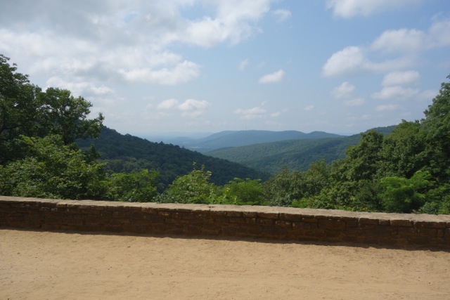
From the Logan Point Trail There is a very aggressive ascent of almost 100 feet in a little less than .2 miles before you reach the Logan Point's stone cuts. From here to the summit it is slow going through the rock formations. There are blue arrows spray painted to show you the way to the top which requires some climbing to reach. At the top you can turn around and see how the way down is obscured with no markings at all to show the way.
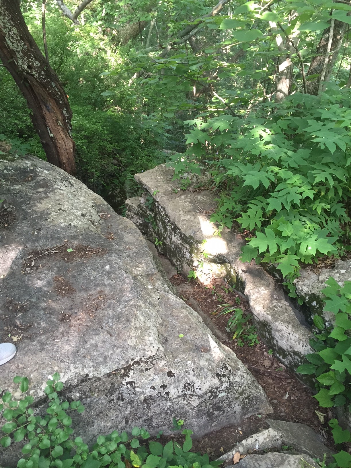
From here the rest of the trail is narrow and due to lack of regular usage the vegetation is starting creep in. In spite of the trail is easy to follow as it descends toward the Stone Cuts. As it gets closer to its end point it does start to get more rocky so be careful.
{gallery MonteSano/PantherKnob/gallery01|Panther Knob Trail}
The Other Panther Trail

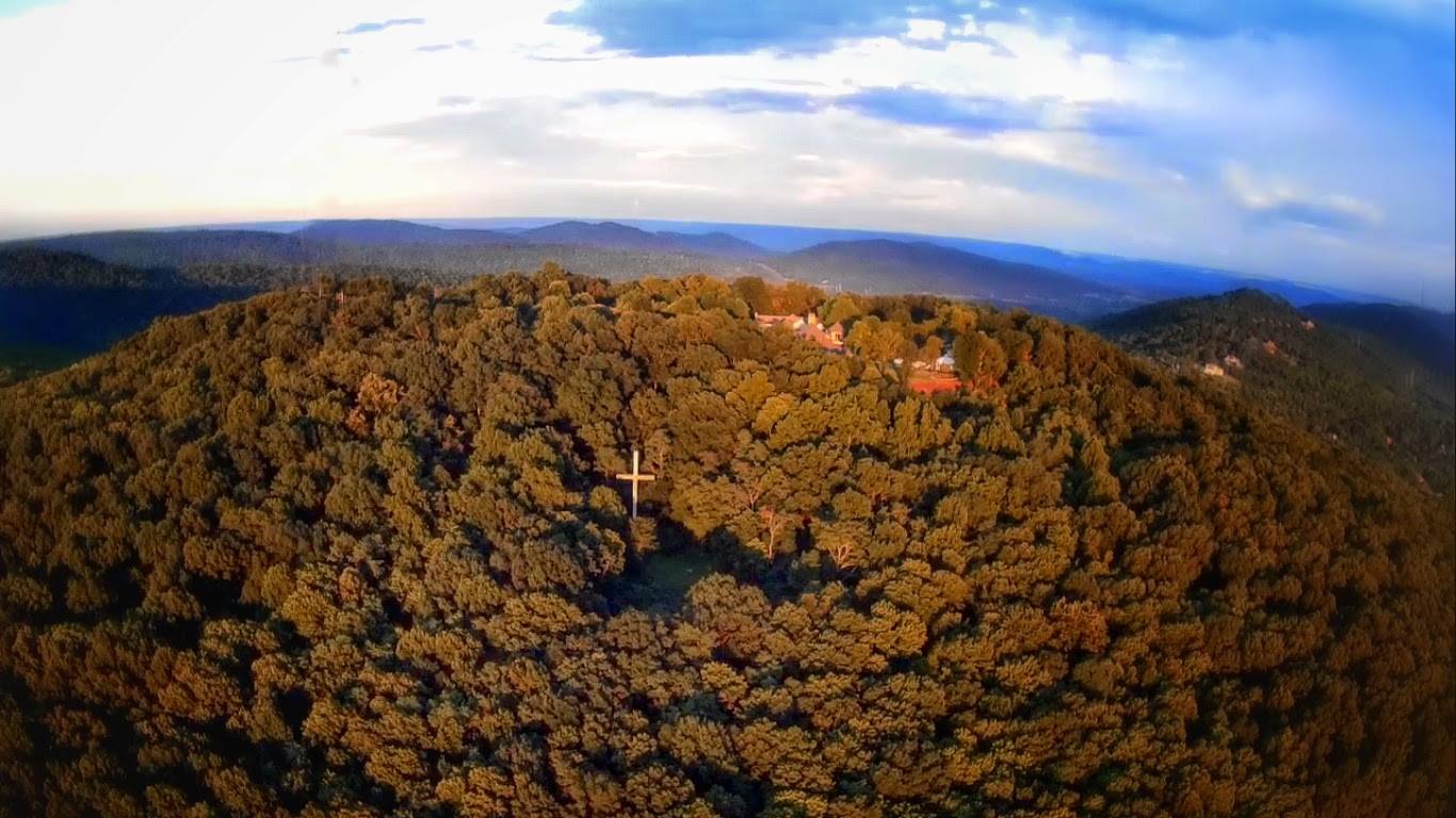
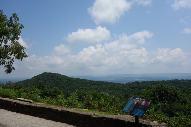
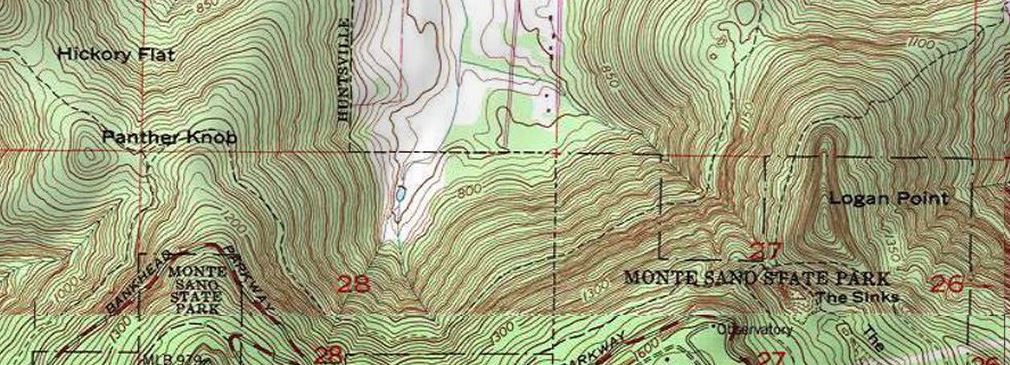
To add to the confusion on some old maps from Briatech and the Land trust there is another trail named the Panther trail. According to those documents it starts off the Dummy Line Trail and crosses Bankhead Parkway then connects to the Flat Rock Trail. If you look back at the top photo in this article you will see that the old USGS maps show a trail that branched off of the Flat Rock Trail toward Panther Knob and across Chapman Mountain to the Certain Gap. Part of that short connector still exist today but ends at the back of the neighborhood as you can see in the map below.
My last run up Dummy Line I did notice what may have been the Panther Trail but as of this writing have yet to explore it. When I do I will be sure to update this page.