Natural Well is one of the more challenging and rewarding trails on Monte Sano. Tragically though it has become a victim of erosion.
Getting There
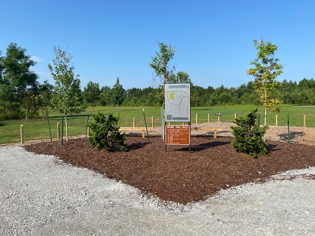
The trailhead for Natural well is located at the Land Trust Hikers parking lot off of Monte Sano Blvd. This gravel parking lot also serves as a trailhead for the Arrowhead Trail, Trough Springs Trail, and Bluff Line trails.
The Trail
Natural Well is just over two miles long running from the hikers parking on Monte Sano Blvd lot to McKay Hollow. Along the way it intersects with Through Springs once and Arrowhead Trail multiple times before ending in Mckay Hollow at the McKay Hollow trail.
From the trail head its starts off single track and then expands to double track with few rocks and roots to worry about. You will also need to crawl or jump over a few fallen trees before it narrows back to single track around a 1/2 mile in. This is also where you come upon a huge washout that, without the use of land surveying tools, I would estimate is at least 100 feet wide. Where the trail once was is now full of mature trees strewn about like Pick-up sticks.
If you hiked trails anywhere you know that it a path of least resistance is a common theme. For example if a tree has fallen over the trail you walk around it rather than over it. If the obstruction is not removed this eventually becomes the official trail. I like to think of it as organic trail growth. Natural Well is no exception to this rule.
Prior to reaching the wash out hikers had blazed a detour up and over the washout but the effort was futile having too been overtaken by the ever expanding erosion. It has gotten so large that it has almost reached Arrowhead trail and can be seen on Google Maps. Crawling down and finding your way to the other side of the trail requires some scrambling over fallen trees and rocks. Be cautious though cause you never know when some butterfly in South America will flap its wings and cause a another landslide. Hopefully the area eventually stabilizes and a permanent route or bridge can be built but I fear that it will only continue to get larger.
If you are brave or crazy enough to make your way across the washout the trail continues on the other side where it too has been eroded. No doubt this section acted as a natural diversion thus its poor condition. The original path is still navigable but very technical so fellow hikers and runners have beaten down the sides of the trail above it which I would suggest using. Maybe someday it can be rehabbed but until the washout behind it is stabilized it will be a logistical nightmare getting there.
{gallery MonteSano/NaturalWell/gallary01|Natural Well Washout}
Around a mile in you reach the first intersection with Arrowhead Trail as you continues a slow climb to the highest part of the trail around 1-1/2 miles. From here you start your decent in to McKay Hollow where at 1-3/4 miles you reach the trail's name sake, the Natural well. Natural Well is a large vertical shaft cave backed up next to a high cliff wall. For safety sake it is surrounded by fencing which I was thankful for since I was a even bit scared to hang my phone over the edge to take a picture of it. Before being known as the Rocket City Huntsville was known as the Cave City and the Natural Well is a great example of why. Huntsville Outdoors has written some features about the caves in Northern Alabama: Rockhouse Cave, Stephen's Gap, and a few more to come.
After the well the trail gets much more difficult with very steep rocky declines and some washed out portions, very technical running required here. Just before the second intersection with Natural Well there is a beautiful waterfall that you cross twice which makes for a great spot for a selfie or picnic, if its dry. Eventual you reach the McKay Hollow where the trail opens up into a 'hollar' (southern term used by a northern man possibly incorrectly) near where the trail mergers with Arrowhead before a small climb as it terminates a the McKay Hollow trail.
{gallery MonteSano/NaturalWell/gallary02|Natural Well Trail}
The Natural Well trail shows off what mother nature can do with water. In one instance strong storms led to multiple quick and destructive land slides over the years. While In another instance you see how over much longer duration of time water has slowly created the Natural Well. For those reasons I would put Natural Well down as one of my favorite trails in Huntsville.