I've always maintained that canoeing with your significant other is a great way to see how well you work together in tense situations. If you're still talking to each other after a couple hours on the river, you're probably compatible and can go ahead and schedule that second date. Speaking of second dates, why not plan a canoe/camping trip?
In all seriousness though I can't recommend this enough. I'm sad to admit that my first canoe/camping trip wasn't until just two years ago…well after my wife and I were married. Davy and I first canoe/camped on the Elk River in 2010 with a bunch of friends and our wives.
As much fun as we all had on the aforementioned trip, we tried and tried to plan a repeat but it never worked out. Several babies later we decided to make it happen again, sans wives. Somebody had to stay home and make sure terrible reality TV was being watched. As it turns out, the Flint River is perfect for canoe/camping. No need to drive all the way to Kelso for the Elk although the Elk is a bit cleaner. It's also a lot colder which can be good or bad depending on the time of year.
We originally came up with two potential routes: Hwy 72 to Ditto (or a shorter option--Hobbs Island Rd) or Ryland Pike to Hays Nature Preserve. After a quick consultation with the guys at NACK, the low water level ruled out anything south of Hays leaving us with Ryland Pike to Hays Nature Preserve. At the last second I called Hays to inquire about the overnight parking situation there and was told it was not allowed. Determined to make this trip happen, we pleaded with our wives to assist with the pickup at Hays.
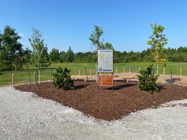
Trip Map
View a Google map with notable locations.
These are approximate paddle times and may include moderate breaks for general tomfoolery.
- Ryland to Camp Site near cave - 3.5 hours
- Camp site to Little Cove - 45 minutes
- Little Cove to Hayes - 3 hours
For a grand total of...... just over 7 hours? Hmm, seemed like longer.
Trip Report
STANDARD REQUEST: As always, please pack out what you pack in and more. At some point in your life you're bound to tip and lose all your trash downstream so why not preemptively redeem yourself now :)
Put-in
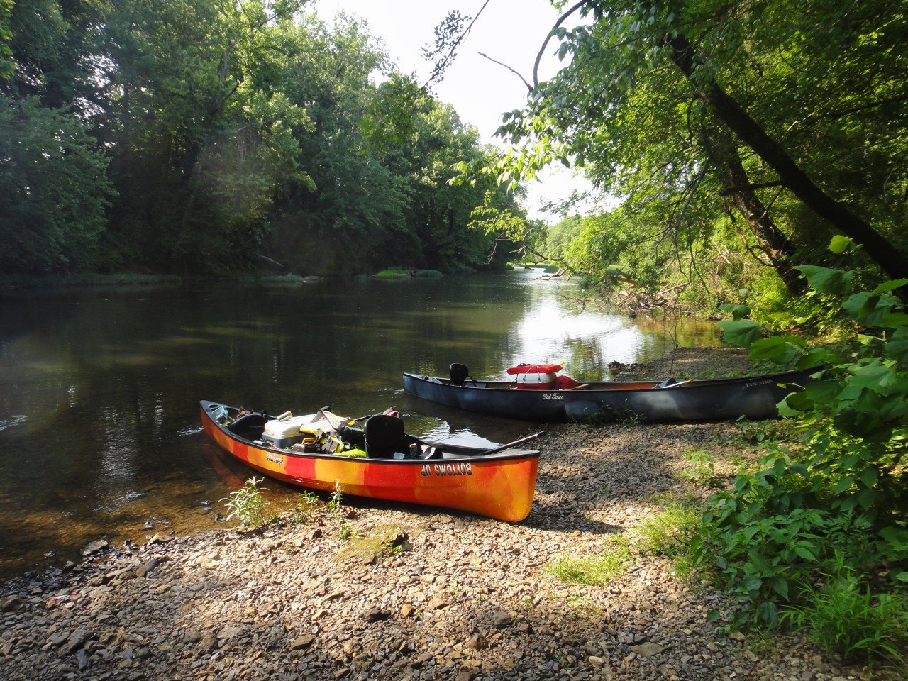
Four of us put in at Ryland Pike by the Baptist church around 3pm on Saturday in two Old Town canoes, minimal camping supplies, and a meager four cases of beer. As a side note, I left my vehicle at the church with no issues. Davy was worried about leaving his car overnight and brought his wife to take his car home. I take no liability if a family of angry raccoons takes up residence in your car or some equally annoying but more believable tragedy has befallen you. I think that's standard legalese, right?
To access this put-in, take Ryland Pike to Everett Rd and go north to the Baptist church. You'll see a trail down to the water just past the church.
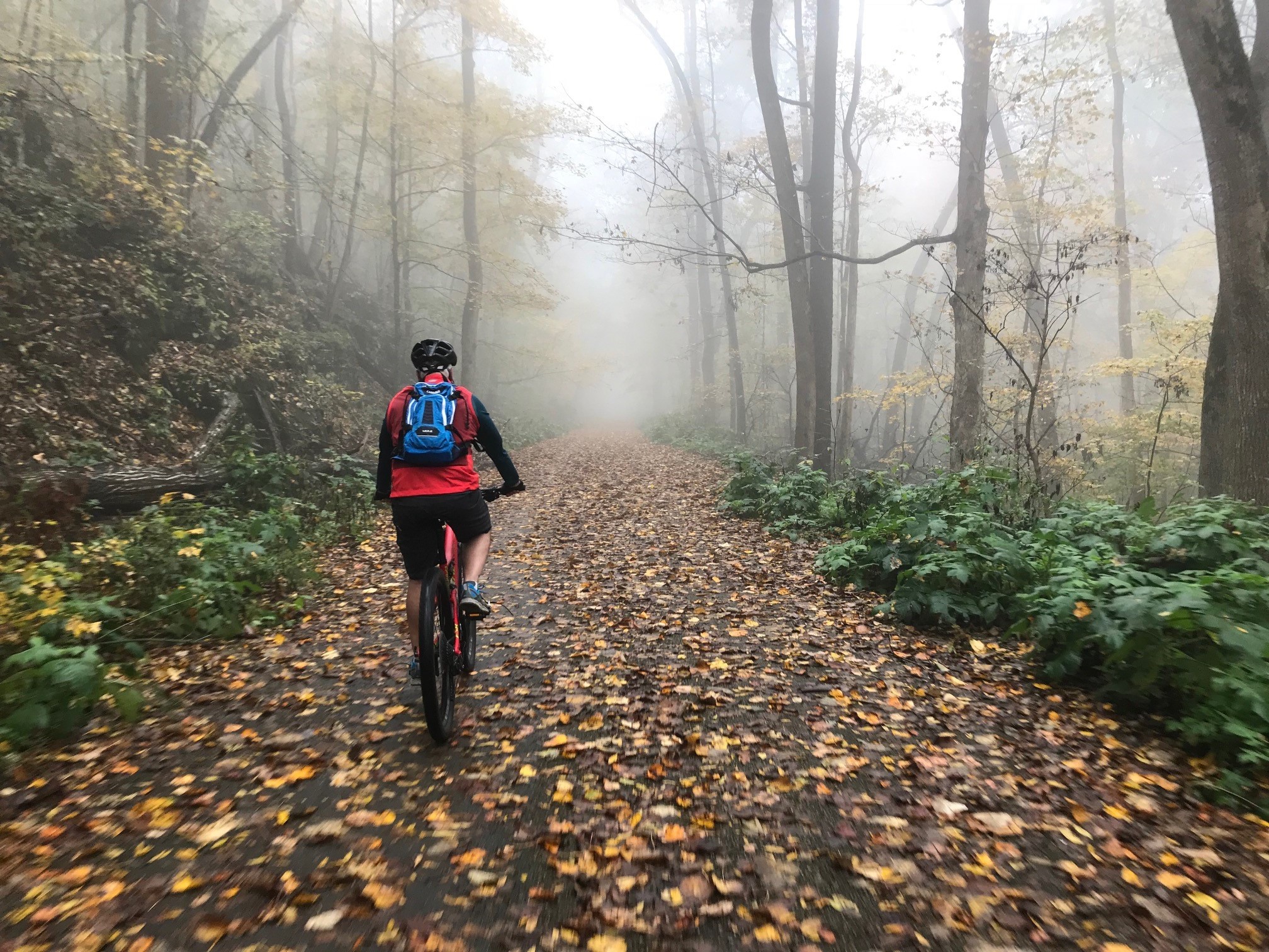
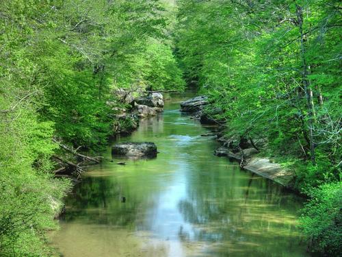
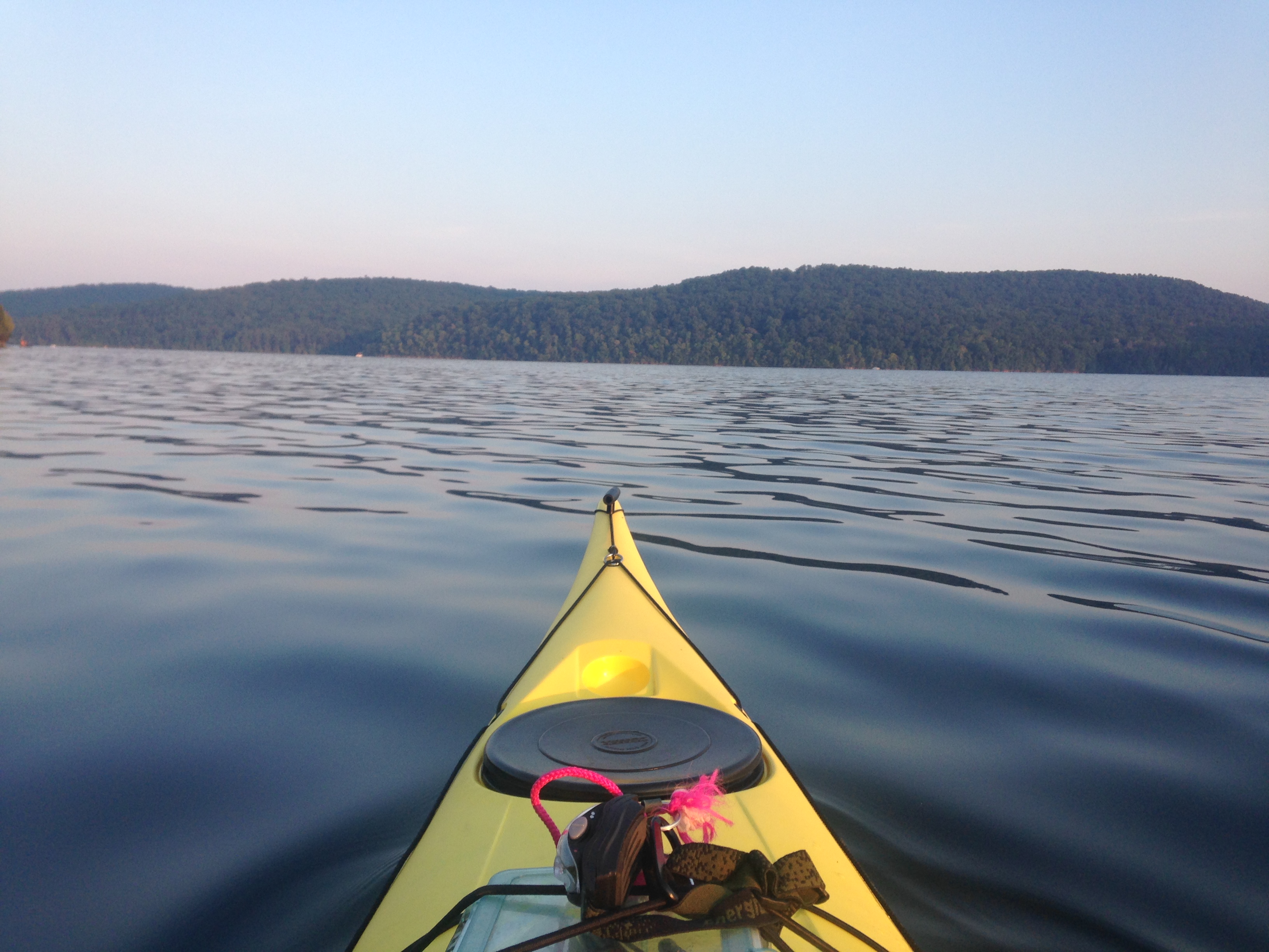
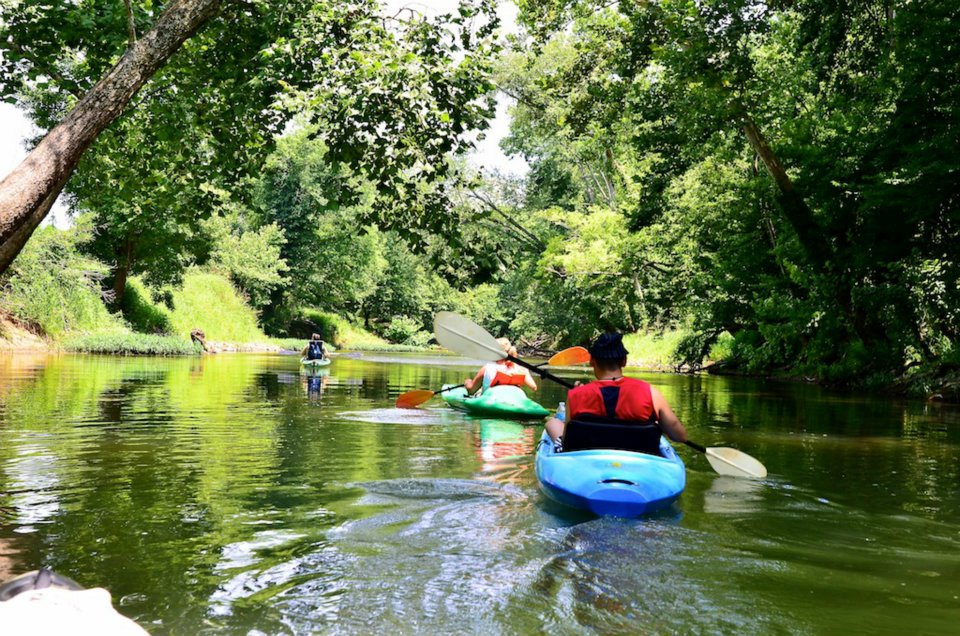
Float
The first part of the trip was uneventful save the traces of an old bridge or two. I'm always surprised by the trash I find on the Flint from bricks to tires and even an old console television. I have no idea how this stuff gets out here.
There's a gravel bar (I may have made up that term) a little ways after Hwy 72 where we always stop. The water is shallow here and you can wade all the way across the river. There's a trail that leads back to some farmland and depending on the time of year, the corn can be twice my height. While I don't condone stealing, I have been known to sample the corn on occasion. If you have time stop here and grill some hotdogs or better yet, Conecuh sausage followed up by some intense rock-skipping competition.


Camping
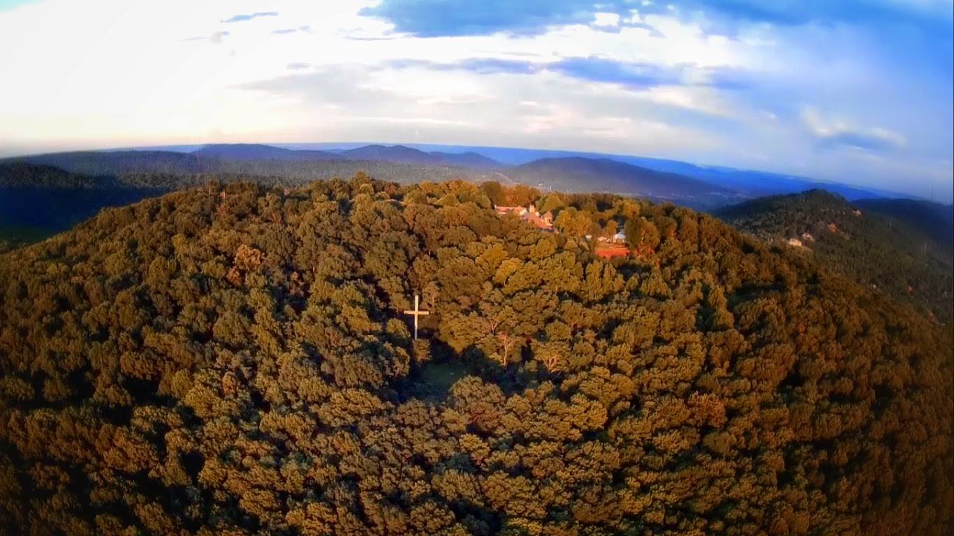
There are several good camping spots on the Flint. The first one is at the caves at Sublet Bluffs. It's a small site though and can only accommodate maybe four people. Just after that is a very nice, what appears to be maintained, camp site complete with fire pit. Check out the trip map for the exact location of these spots.
A while after Little Cove, the river will split. Both routes will look sufficiently navigable but the left route dries up after about 100 yards. Look at the trip map and plan accordingly.
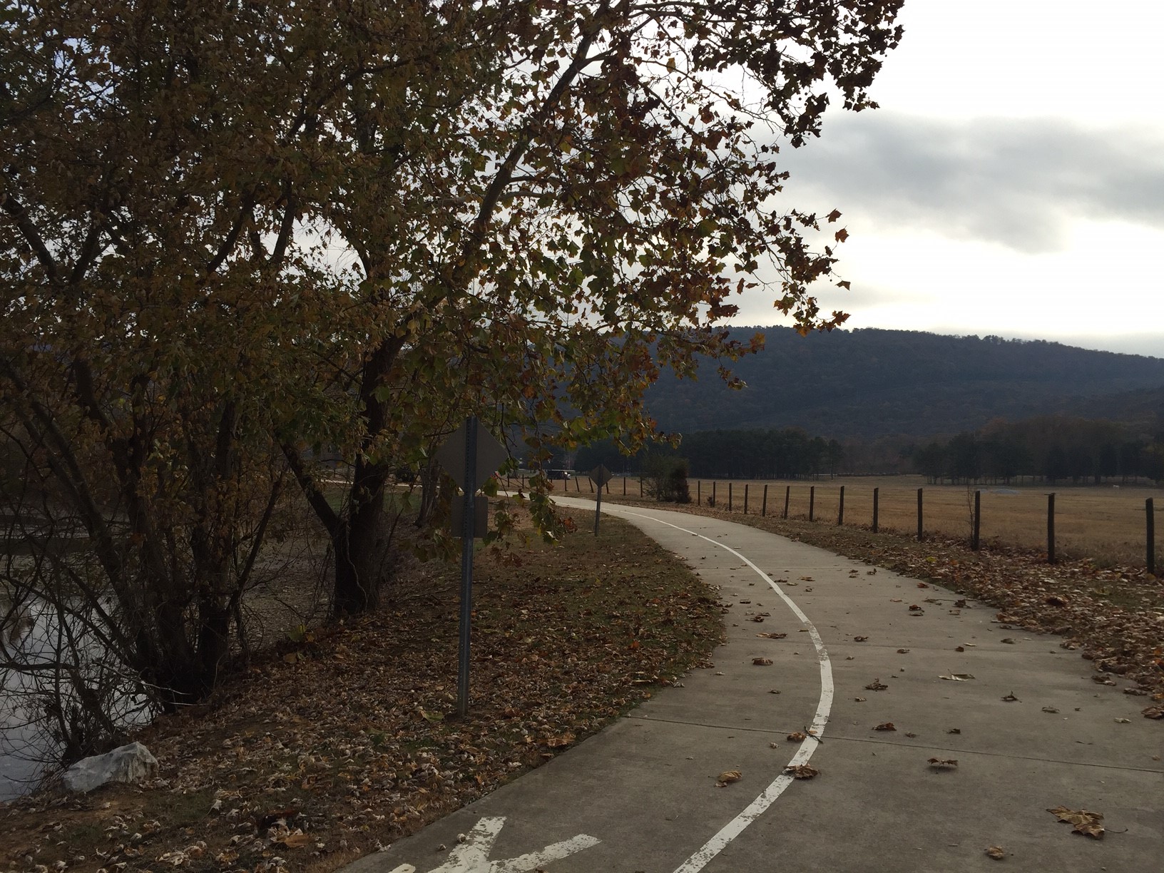
Take-out
Take-out for this trip is Hays Nature Preserve on U.S. 431 east of Huntsville. As noted earlier there is no overnight parking at Hays so make proper arrangements. View the trip map for exact coordinates of the take-out but it's fairly obvious. There are large concrete steps on your right leading down to the water. There's also a sign posted that reads "Cherokee Landing". You'll have to carry all your stuff about 50 yards to the parking lot. This would be a good place to dispose of all that extra trash you picked up along the way ;)
Eric Adams
Eric has been an Editor for Huntsville Outdoors since 2012. His outdoor qualifications include: owning a canoe, enjoying the outdoors, and knowing how to type.